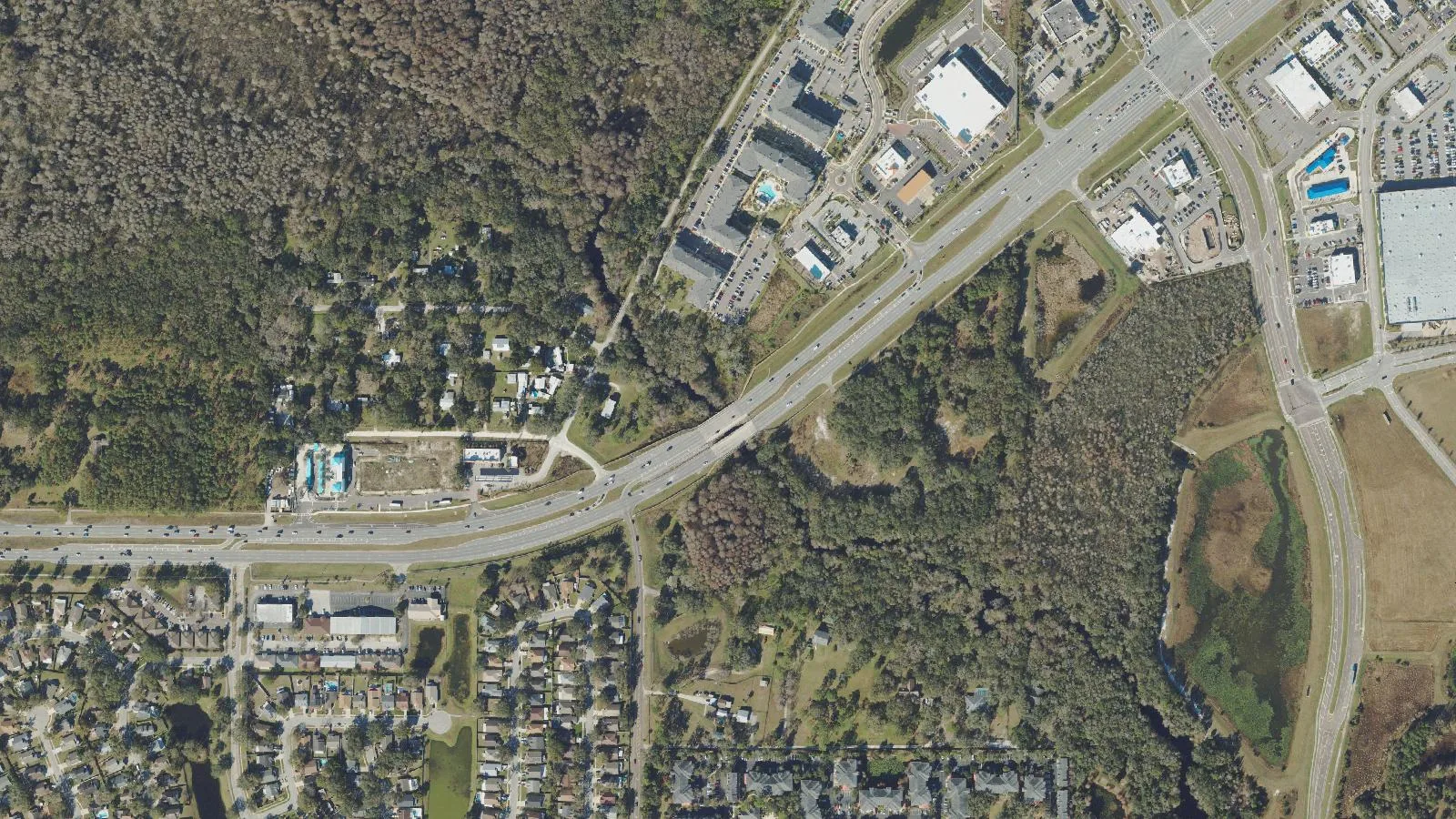
Cypress Creek peaked at 7.63 feet at State Road 54 at noon Tuesday, just under its 8-foot flood stage. The weather service canceled its flood warning Monday.
Cypress Creek stayed below flood stage at State Road 54. The creek peaked at 7.63 feet at noon Tuesday, Oct. 13, according to the NOAA National Water Prediction Service gauge. Flood stage there is 8 feet.
Updated Oct. 17: the National Weather Service in Tampa Bay canceled the flood warning for the creek at 9:26 a.m. Monday, Oct. 12. The creek rose for another day, peaked short of flood stage and has been falling since. This story first ran Oct. 11 with the forecast below.
The gauge, Cypress Creek at SR 54 Worthington Gardens, is about five miles west of central Wesley Chapel.
Where the creek stands now
The gauge read 7.33 feet at 9 p.m. Friday, Oct. 16. That is still above the 7-foot “action” level, which tells forecasters to watch the creek, but below flood stage. The weather service forecast shows the creek easing slowly from there.
What the forecast said
When it extended the warning at 10:06 p.m. Saturday, Oct. 10, the weather service said water levels on the creek remained high after recent heavy rain. Its warning said:
- the creek stood at 7 feet at 9 p.m. Saturday
- it was expected to rise above flood stage late Monday night
- it would reach 8 feet early Tuesday morning
- more rises were possible after that
- flood stage, and bankfull stage, is 8 feet
The gauge read 7.08 feet at 3 a.m. Sunday, according to the NOAA National Water Prediction Service. Its forecast then held the creek at 8 feet through early Wednesday.
At 8 feet, the weather service says, “Flooding begins at the recreation area on State Road 54.” That is minor flooding. The gauge’s own impact list sets out what happens higher up:
| Stage | What the weather service says happens |
|---|---|
| 8 feet | Flooding begins at the recreation area on State Road 54 |
| 11 feet | Flooding threatens two homes on State Road 54 |
| 12 feet | The walkway to the river gauge floods |
| 20 feet | Water reaches the roadbed level of State Road 54 |
Moderate flood stage is 11 feet and major flood stage is 12 feet. Nothing in last weekend’s forecast came close to either.
How it compares
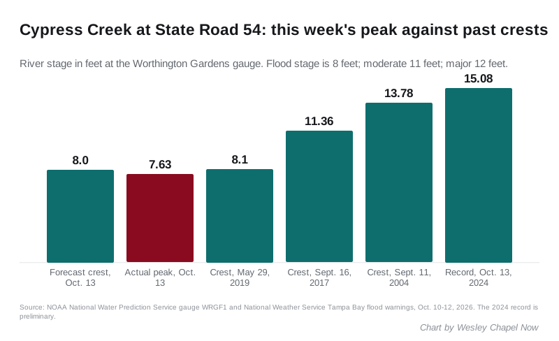
The weather service compared last weekend’s forecast with an 8.1-foot crest on May 29, 2019. The actual peak of 7.63 feet fell short of both.
The gauge’s highest crest on record was 15.08 feet on Oct. 13, 2024, four days after Hurricane Milton made landfall. That figure is still marked preliminary. Other high crests in the record include 13.78 feet on Sept. 11, 2004, and 11.36 feet on Sept. 16, 2017.
The warning
The weather service says its river forecasts at this site account for rain that has already fallen and rain expected over the next 48 hours. Its 9:26 a.m. statement Monday listed the warning for Cypress Creek as canceled. A separate warning for the Withlacoochee River at Dunnellon, in Marion County about 60 miles north, continued.
What it means for you
- The recreation area on State Road 54 did not reach the stage at which the weather service says it floods. The creek is still above its 7-foot action level, so the weather service is still watching it.
- Check the gauge before you go. The live reading and forecast update through the day.
- Get warnings on your phone. Sign up for Alert Pasco, the county’s notification service; details are in our hurricane and storm prep guide.
- Check which roads are closed before you drive.
- Power out? See who to call during a power outage.
Have your say