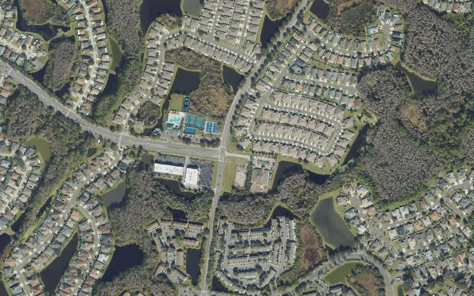
Meadow Pointe spans about 4,000 acres in ZIP 33543 along Meadow Pointe Boulevard. Most homes are zoned for Wiregrass Ranch High, graded A for 2026.
Last checked Oct. 10, 2026. Sources: Pasco County’s GIS open data (master-planned development, address, ZIP code and trail layers), Pasco County Schools’ 2026-27 school boundaries, the Florida Department of Education’s 2026 school grades, Zillow Research and OpenStreetMap.
Meadow Pointe is the southeast quarter of Wesley Chapel, laid out along Meadow Pointe Boulevard from County Line Road north across State Road 56. Pasco County’s map of master-planned developments shows it as two approved developments of regional impact: Meadow Pointe (formerly Deerfield Village), about 1,727 acres, and Wesley Chapel Lakes, about 2,274 acres, which the county notes is also known as Meadow Pointe III and IV. OpenStreetMap marks four places named Meadow Pointe I, II, III and IV inside them.
What this means for you
- Zoned high school: Wiregrass Ranch High for most homes, Wesley Chapel High for some in the north; both graded A for 2026. Check an address with the School Boundary Search.
- Home value: $407,059 in ZIP 33543 in August 2026, according to the Zillow Home Value Index.
- Nearest I-75 exit: Exit 275, State Road 56, or Exit 279, State Road 54, each about 6 miles by road.
Part of our Wesley Chapel neighborhoods guide.
Where it is
On the county’s map, Meadow Pointe runs from County Line Road, the Hillsborough County line, north past State Road 56, between Wiregrass Ranch on the west and Union Park and the Wyndfields development on the east. Its main roads, from the county’s street layer, are Meadow Pointe Boulevard, Chancey Road, Foxwood Boulevard and State Road 56.
It is the most built-up area in this guide: Pasco County’s address map places about 7,400 addresses inside the two developments, 7,299 of them in ZIP code 33543 and the rest in 33544, all with Wesley Chapel mailing addresses. About one in 10 carries a unit number, which on the county’s map marks apartments, townhomes and condos.
Schools
Meadow Pointe is split between zones. From a sample of county address points checked against Pasco County Schools’ 2026-27 boundary map:
| Level | School | Address | Share of homes | 2026 grade |
|---|---|---|---|---|
| Elementary | Double Branch Elementary | 31500 Chancey Road | about 35% | A |
| Elementary | Sand Pine Elementary | 29040 County Line Road | about 34% | A |
| Elementary | Wiregrass Elementary | 29732 Wiregrass School Road | about 31% | A |
| Middle | Dr. John Long Middle | 2025 Mansfield Blvd. | about 86% | A |
| Middle | Thomas E. Weightman Middle | 30649 Wells Road | about 14% | A |
| High | Wiregrass Ranch High | 2909 Mansfield Blvd. | about 86% | A |
| High | Wesley Chapel High | 30651 Wells Road | about 14% | A |
Sand Pine and Double Branch elementary schools are inside Meadow Pointe. Because the area is split, check each address with the School Boundary Search. Grades are from the Florida Department of Education’s 2026 results. More is in our schools guide.
Home values
Zillow does not publish a Meadow Pointe value, so ZIP code 33543 is the closest guide. The Zillow Home Value Index put the typical home at:
| Area | August 2026 | August 2025 | Change |
|---|---|---|---|
| ZIP 33543 | $407,059 | $419,074 | -2.9% |
| Wesley Chapel (Zillow’s place figure) | $400,424 | $411,954 | -2.8% |
The index is a modeled typical value for the middle third of homes, not a sale price. More is on our home prices page.
Parks and trails
Pasco County’s park layer places no county park inside Meadow Pointe. Its trail map lists:
- The Meadow Pointe Trail, an existing side path of about 4.6 miles from the Hillsborough County line north toward State Road 54.
- The S.R. 56 Trail, existing in both directions from Meadow Pointe Boulevard: about 3.8 miles west to Bruce B. Downs Boulevard and about 5.4 miles east toward U.S. 301.
The nearest county parks, Wesley Chapel District Park and Wiregrass Ranch Sports Campus, are in our parks and trails guide.
Getting around
Measured on the road network from a point near the middle of the area:
- I-75 Exit 275, State Road 56: about 6 miles.
- I-75 Exit 279, State Road 54: about 6 miles.
- Tampa City Hall in downtown Tampa: about 25 miles.
- Tampa International Airport: about 32 miles.
These are distances, not drive times, measured with the OSRM routing engine on OpenStreetMap roads. GoPasco’s one Wesley Chapel bus, Route 54, runs along State Road 54 to the north. More is on our getting around guide.
Groceries and everyday stores
From OpenStreetMap, inside or next to the area:
- Publix, 1920 Bruce B. Downs Blvd., at the western edge.
- The Shoppes at New Tampa shopping center, inside the area’s western end.
- Winn-Dixie, 6425 County Line Road, just south.
- CVS Pharmacy, two stores mapped inside the area and at its western edge.
- The Shops at Wiregrass, the open-air mall at State Road 56 and Bruce B. Downs Boulevard.
Frequently asked questions
Where is Meadow Pointe in Wesley Chapel?
In southeast Wesley Chapel, north of County Line Road and on both sides of State Road 56, with Meadow Pointe Boulevard as its spine. Pasco County maps it as two developments of regional impact, Meadow Pointe and Wesley Chapel Lakes, together about 4,000 acres.
What high school is Meadow Pointe zoned for?
Most of it is zoned for Wiregrass Ranch High; about one home in seven, in the northern part, is zoned for Wesley Chapel High, on Pasco County Schools’ 2026-27 map. Both earned an A in Florida’s 2026 school grades.
What is the typical home value in Meadow Pointe?
Zillow does not publish a Meadow Pointe figure. In ZIP code 33543, which covers nearly all of it, the Zillow Home Value Index was $407,059 in August 2026.
Is there a trail in Meadow Pointe?
Yes. Pasco County’s trail map lists the Meadow Pointe Trail, an existing side path of about 4.6 miles from the Hillsborough County line to State Road 54, and the S.R. 56 Trail crossing the area.
Have your say